


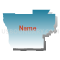
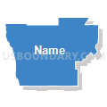
Grays Harbor & Mason Counties PUMA, Washington
About
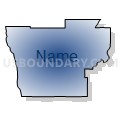
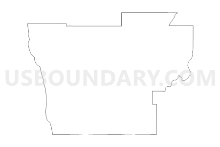
Outline

Summary
| Unique Area Identifier | 194338 |
| Name | Grays Harbor & Mason Counties PUMA |
| State | Washington |
| Area (square miles) | 3,275.42 |
| Land Area (square miles) | 2,861.44 |
| Water Area (square miles) | 413.98 |
| % of Land Area | 87.36 |
| % of Water Area | 12.64 |
| Latitude of the Internal Point | 47.21367460 |
| Longtitude of the Internal Point | -123.62342250 |
Maps


Graphs
Select a template below for downloading or customizing gragh for Grays Harbor & Mason Counties PUMA, Washington


Neighbors
Neighoring Public Use Microdata Area (by Name) Neighboring Public Use Microdata Area on the Map
- Clallam & Jefferson Counties PUMA, WA
- Cowlitz, Pacific & Wahkiakum Counties PUMA, WA
- Kitsap County (North)--Bainbridge Island City & Silverdale PUMA, WA
- Kitsap County (South)--Bremerton & Port Orchard Cities PUMA, WA
- Lewis, Klickitat & Skamania Counties PUMA, WA
- Pierce County (Northwest)--Peninsula Region & Tacoma City (West) PUMA, WA
- Thurston County (Outer) PUMA, WA
Top 10 Neighboring County (by Population) Neighboring County on the Map
- Pierce County, WA (795,225)
- Thurston County, WA (252,264)
- Kitsap County, WA (251,133)
- Lewis County, WA (75,455)
- Grays Harbor County, WA (72,797)
- Mason County, WA (60,699)
- Jefferson County, WA (29,872)
- Pacific County, WA (20,920)
Top 10 Neighboring County Subdivision (by Population) Neighboring County Subdivision on the Map
- Olympia CCD, Thurston County, WA (161,661)
- Bremerton CCD, Kitsap County, WA (105,827)
- Port Orchard CCD, Kitsap County, WA (67,580)
- Thurston South CCD, Thurston County, WA (39,485)
- Aberdeen-Hoquiam CCD, Grays Harbor County, WA (32,204)
- Shelton CCD, Mason County, WA (20,843)
- Olympia West CCD, Thurston County, WA (18,639)
- Key Peninsula-Anderson Island CCD, Pierce County, WA (15,595)
- Union-Grapeview CCD, Mason County, WA (13,303)
- Belfair-Tahuya CCD, Mason County, WA (8,737)
Top 10 Neighboring Place (by Population) Neighboring Place on the Map
- Bremerton city, WA (37,729)
- Aberdeen city, WA (16,896)
- Shelton city, WA (9,834)
- Hoquiam city, WA (8,726)
- Ocean Shores city, WA (5,569)
- Montesano city, WA (3,976)
- Belfair CDP, WA (3,931)
- Elma city, WA (3,107)
- Central Park CDP, WA (2,685)
- Westport city, WA (2,099)
Top 10 Neighboring Unified School District (by Population) Neighboring Unified School District on the Map
- North Thurston Public Schools, WA (94,104)
- Central Kitsap School District, WA (68,814)
- South Kitsap School District, WA (68,017)
- Olympia School District, WA (61,756)
- Peninsula School District, WA (61,651)
- Tumwater School District, WA (36,566)
- Shelton School District, WA (23,747)
- Aberdeen School District, WA (20,368)
- North Mason School District, WA (14,752)
- Rochester School District, WA (14,285)
Top 10 Neighboring State Legislative District Lower Chamber (by Population) Neighboring State Legislative District Lower Chamber on the Map
- State House District 22, WA (141,695)
- State House District 20, WA (141,029)
- State House District 35, WA (138,142)
- State House District 26, WA (133,755)
- State House District 24, WA (132,679)
- State House District 19, WA (126,904)
Top 10 Neighboring State Legislative District Upper Chamber (by Population) Neighboring State Legislative District Upper Chamber on the Map
- State Senate District 22, WA (141,695)
- State Senate District 20, WA (141,029)
- State Senate District 35, WA (138,142)
- State Senate District 26, WA (133,755)
- State Senate District 24, WA (132,679)
- State Senate District 19, WA (126,904)
Top 10 Neighboring 111th Congressional District (by Population) Neighboring 111th Congressional District on the Map
- Congressional District 3, WA (779,348)
- Congressional District 1, WA (739,455)
- Congressional District 9, WA (723,129)
- Congressional District 6, WA (709,570)
Top 10 Neighboring Census Tract (by Population) Neighboring Census Tract on the Map
- Census Tract 9604, Mason County, WA (8,817)
- Census Tract 2, Grays Harbor County, WA (7,599)
- Census Tract 120, Thurston County, WA (7,158)
- Census Tract 5, Grays Harbor County, WA (6,803)
- Census Tract 4, Grays Harbor County, WA (6,773)
- Census Tract 119, Thurston County, WA (6,767)
- Census Tract 16, Grays Harbor County, WA (6,661)
- Census Tract 921, Kitsap County, WA (6,565)
- Census Tract 726.03, Pierce County, WA (6,462)
- Census Tract 127.20, Thurston County, WA (6,400)
Top 10 Neighboring 5-Digit ZIP Code Tabulation Area (by Population) Neighboring 5-Digit ZIP Code Tabulation Area on the Map
- 98584, WA (36,630)
- 98502, WA (30,491)
- 98312, WA (30,203)
- 98512, WA (28,130)
- 98367, WA (27,693)
- 98520, WA (23,814)
- 98516, WA (20,166)
- 98506, WA (18,199)
- 98579, WA (12,870)
- 98550, WA (11,382)